Research Projects
| Project | Figure | Link to Paper |
|---|---|---|
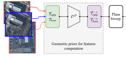 |
MV-DeepSimNets: Multi-view dense image matching with similarity learning and geometry priors.
Collaboratiin with Mohamed-Ali Chebbi |
Paper Code |
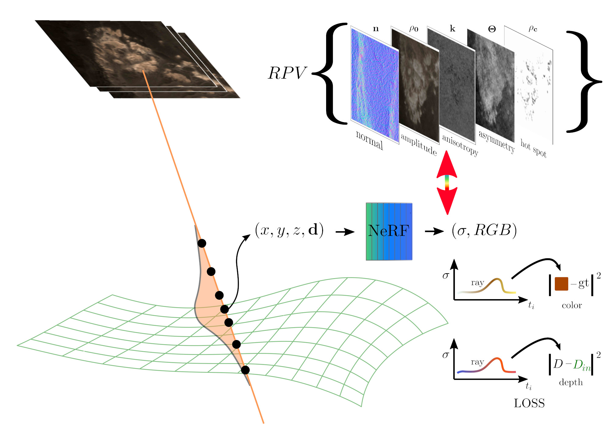 |
BRDF-NeRF: Neural Radiance Fields with Optical Satellite Images and BRDF Modelling.
Collaboration with Lulin Zhang & IPGP |
Paper Code |
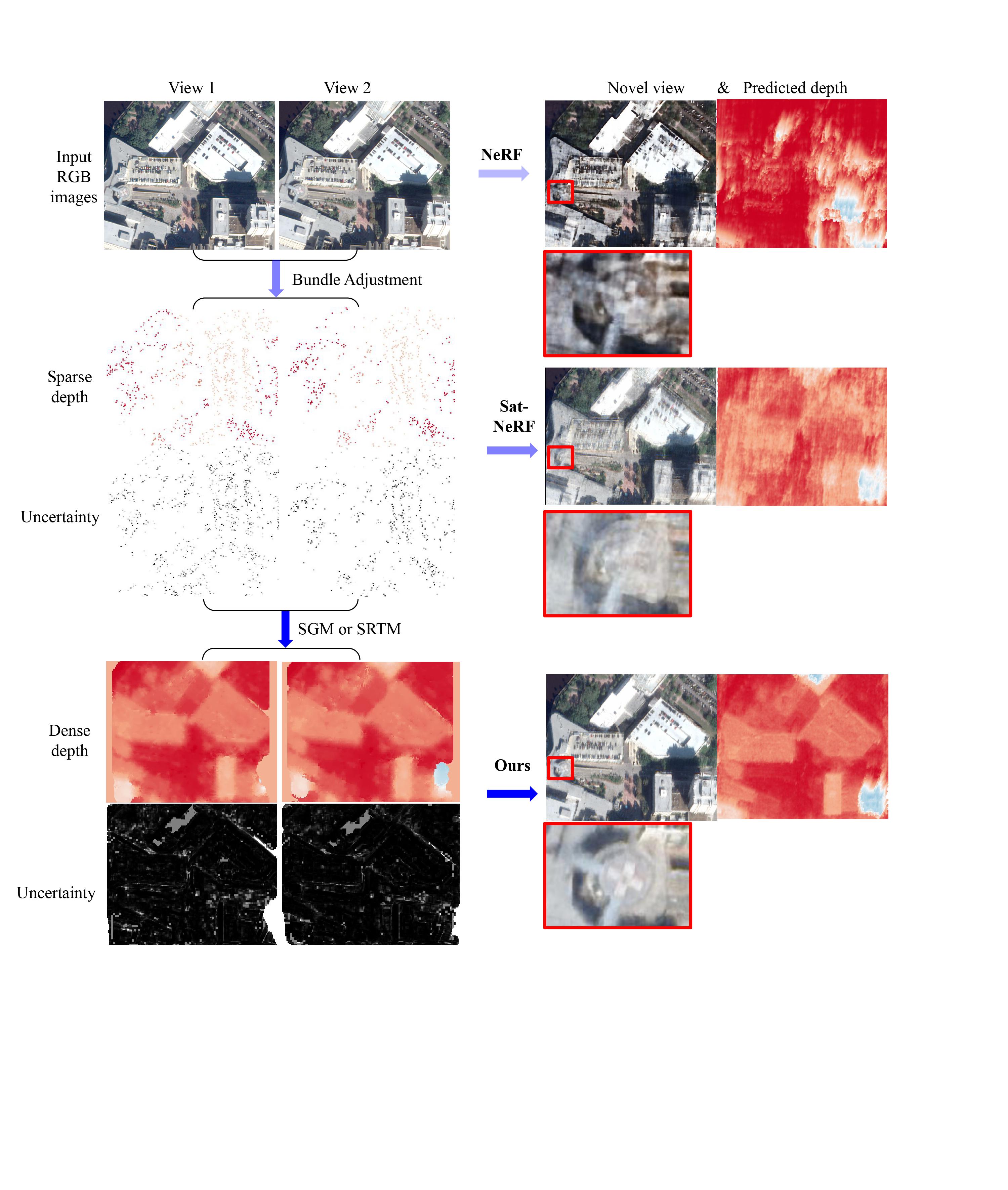 |
SparseSat-NeRF: Dense Depth Supervised Neural Radiance Fields for Sparse Satellite Images. Collaboration with Lulin Zhang & IPGP |
Paper Website Code |
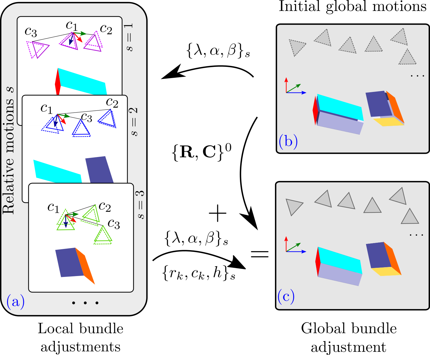 |
Pointless Global Bundle Adjustment with Relative Motions Hessians, CVPR PCV Workshop Collaboration with Marc Pierrot-Deseilligny |
Paper Poster Talk Website Code |
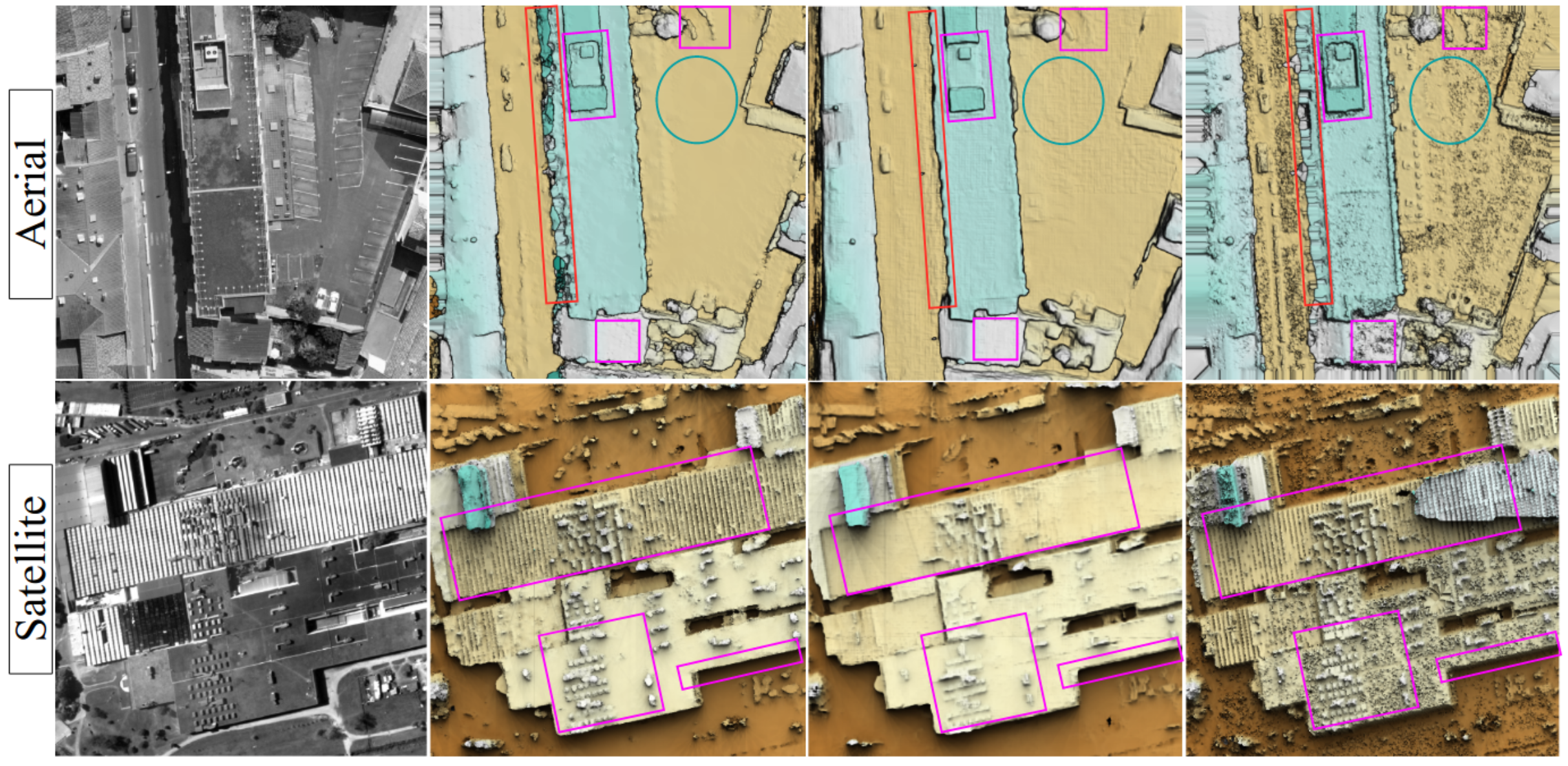 |
DeepSim-Nets - Deep Similarity Networks for Stereo Image Matching CVPR EarthVision Workshop Collaboration with Mohamed-Ali Chebbi |
Paper Website Code |
| Project | Figure | Link to Paper |
|---|---|---|
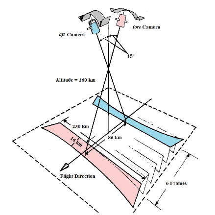 |
Processing of Corona satellite imagery Collaboration with Sajid Ghuffar | Corona KH4b paper Corona KH9 paper |
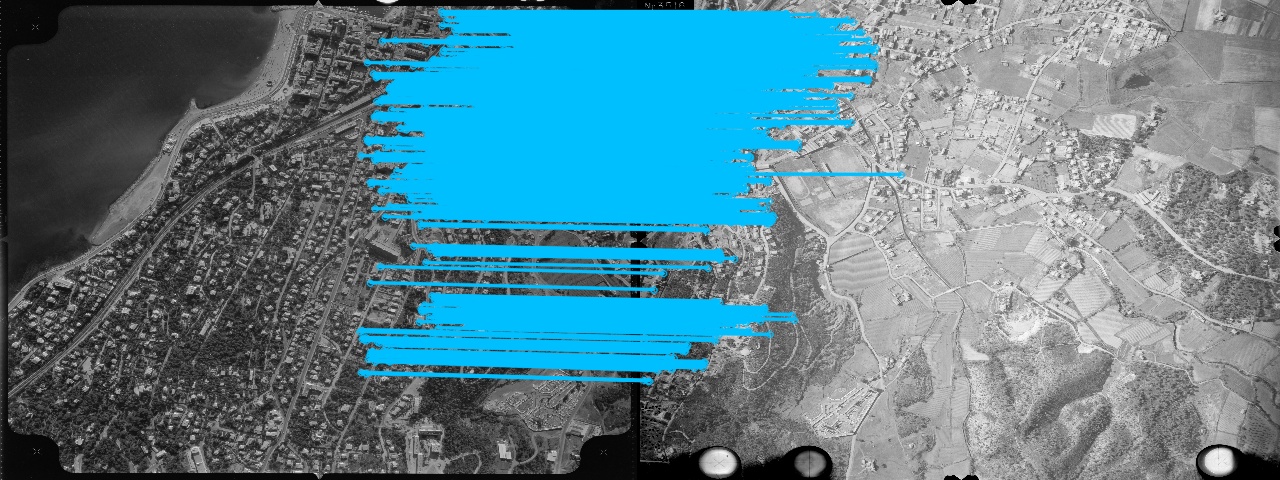 |
Feature Matching for Multi-Epoch Historical Aerial Images |
Paper Website |
 |
5-Points Bundle Adjustment | Paper Talk |
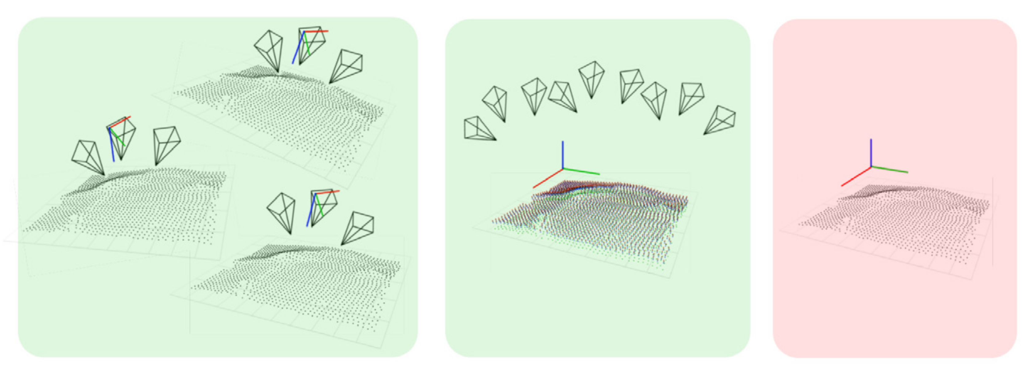 |
Multi-view depth fusion | Paper |
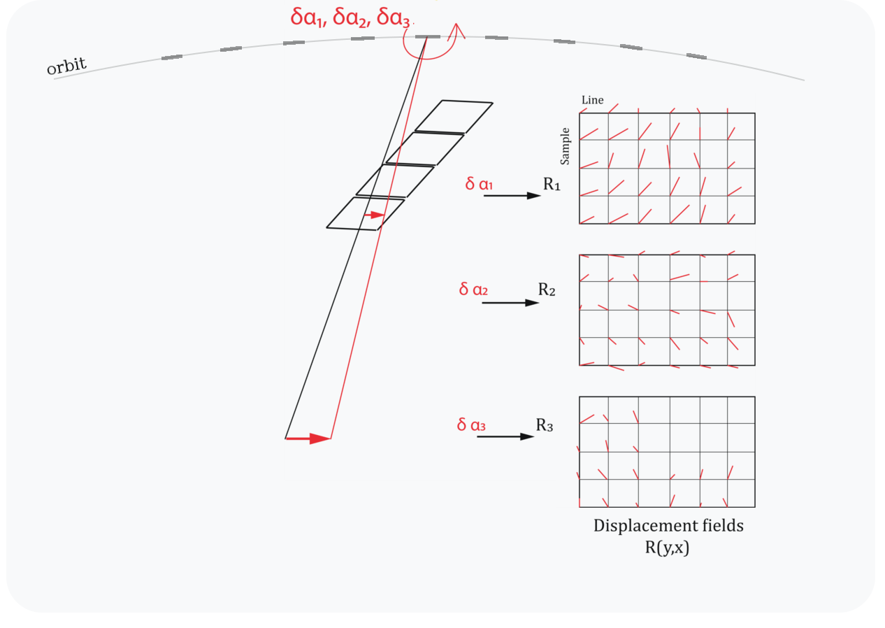 |
Satellite Images Bundle Adjustment | Paper |
Selected invited talks
| Year | Title | Website |
|---|---|---|
| November 2024 | Symposiuum MDIS: mesure de la déformation de la surface terrestre Orléans, France |
Historical images for applications in Earth Sciences [Website] |
| June 2024 | Canadian Symposium on Remote Sensing Halifax, Canada |
Photogrammetry with historical images [Website] |
| November 2023 | L'imagerie Spatiale au Service du Patrimoine Culturel CNES, Paris |
Logiciel 3D MicMac [Website] |
| November 2023 | Faculty of Geoinformation Science and Earth Observation, University of Twente Enschede, The Netherlands |
Fast approaches to bundle adjustment |
| September 2023 | GdR ISIS Calcul visuel de pose en robotique et réalité-X Sorbonne Université, Campus Université Pierre & Marie Curie |
Pointless Global Bundle Adjustment [Website] | [Slides] |
| March 2023 | GRSS IADF Women in Geoscience and Remote Sensing |
Photogrammetry with historical images [Website] | [Slides] |
| June 2021 | ISPRS Lecture Day | High precision mapping with UAVs [Website] | [Slides] |
Workshops, summer schools
| Year | Title | Website |
|---|---|---|
| 24 Jan 2025 | Institut des Géosciences de l'Environnement Grenoble, France |
3D Reconstruction With Historical Images For Glaciology |
| 9-13 September 2024 | 4th Vietnam School of Earth Observation Quy Nhon, Vietnam |
Generation of digital elevation models using remote sensing data [Website] |
| June 2023 | CVPR Workshop Vancouver, Canada |
Photogrammetric Computer Vision [Website] | [Proceedings] |
| June 2022 | ISPRS Congres Workshop Nice, France |
Multi-epoch historical image processing |
| June 2022 | ISPRS Congres Summer School Nice, France |
Photogrammetry & Laser Scanning processing |
| Sept 2018 | Summer School AGH, Cracow, Poland |
MicMac for UAV & Close Range & Satellite |
| May 2018 | Atelier au congrès RFIAP & CFPT Marne-la-Vallée, France |
MicMac for UAV & Close Range & Satellite |
| Feb 2018 | Summer School Politecnico di Torino, Italy |
MicMac for UAV & Close Range |
| Dec 2017 | Seminar Université polytechnique d'Hô Chi Minh-Ville, Vietnam |
Image Processing with MicMac |
| Mar 2017 | Spring school SUP'COM, Tunis, Tunisia |
Photogrammétrie avec MicMac |
Teaching
| Duration | Institution | Type |
|---|---|---|
| to be updated | Université Paris Cité & ENSG, ~30h/yr | 2015 - now |
Roles
| Duration | Institution | Type |
|---|---|---|
| Editor-in-chief | French Journal of Photogrammetry & Remote Sensing, RFPT | 2021-2025 |
| Advisory Board Member | International Journal of Photogrammetry and Remote Sensing, IJPRS | 2024-present |
| ISPRS WG Co-chair | Working Group on Image Orientation and Fusion ISPRS | 2022-2026 |
| Science Advisory Member | ISPRS International Committee ISAC | 2024-2026 |
| Reviewer | IJPRS, ISPRS, RFPT, CVPR (Outstanding Reviewer CVPR'25), ECCV, ICCV |
Education
| Duration | Institution | Type |
|---|---|---|
| Habilitation | Université Gustave Eiffel Manuscript | Defense |
26 June 2025 |
| PhD in photogrammetry | Technische Universitaet Wien, Austria Photogrammetry Research Group |
2010 - 2013 Defense 9/2015 |
| Erasmus | Technische Universitaet Muenchen, Germany Dept. of Photogrammetry and Remote Sensing |
2009/2010 |
| MSc Eng in photogrammetry | AGH University of Science and Technology, Poland Fac. of Geo-Data Science and Geodesy |
2005 - 2010 |